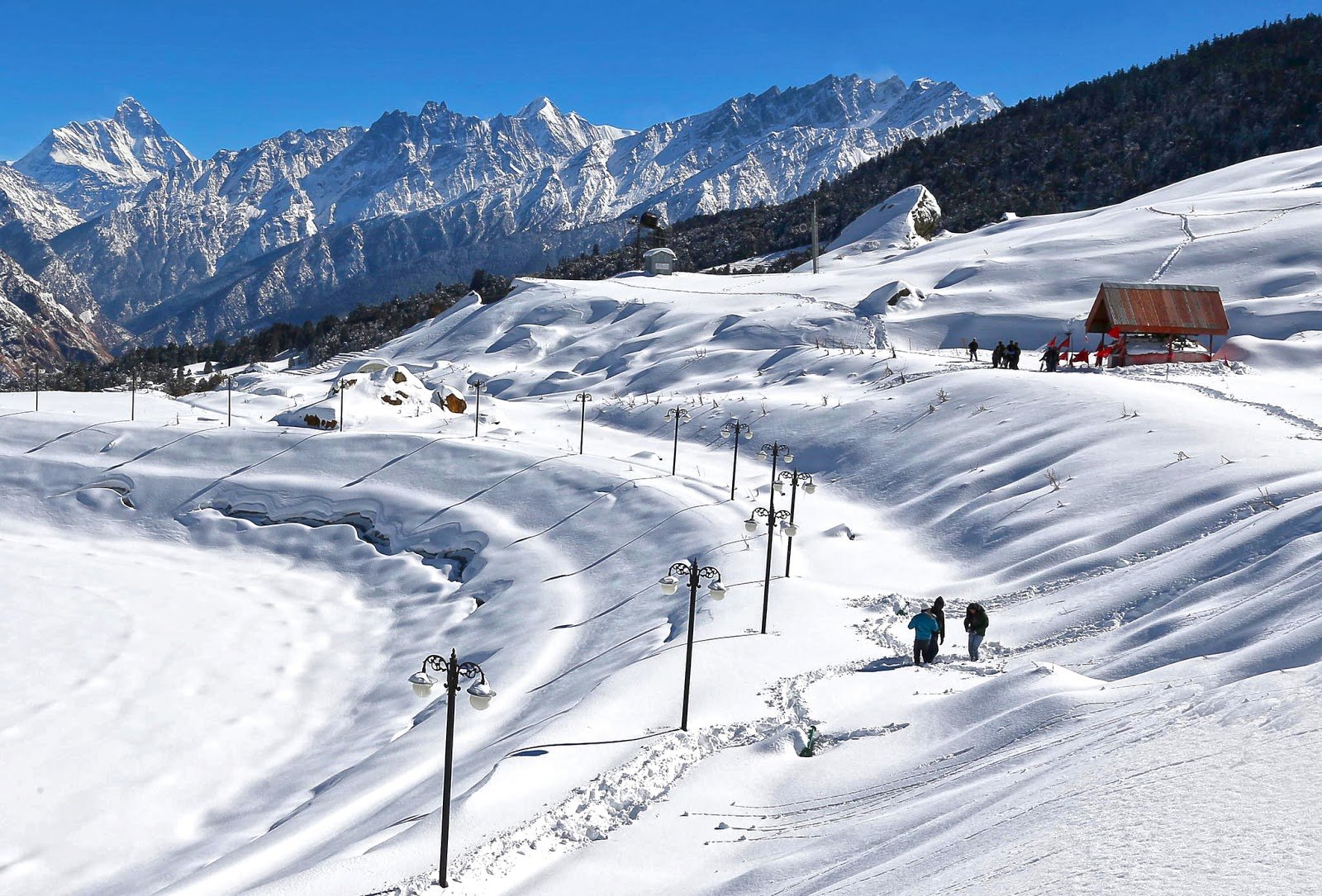

Overview: The Tribal Heartland of Kumaon
Nestled in the fertile Terai plains of the Udham Singh Nagar district, Khatima is a city that beautifully blends its ancient tribal roots with modern agricultural and industrial growth. Formerly known as “Tharwat,” which means the “home of the Tharu tribe,” Khatima is one of the few places in India where the indigenous Tharu community can still be found in their traditional habitat.
Located at an average elevation of 299 metres (980 feet) above sea level, Khatima is a bustling commercial and agricultural hub of the Kumaon region. The city is situated close to the Indo-Nepal border and is well-connected to major destinations in Uttarakhand and Uttar Pradesh.
From the thrilling jungle safaris in the Surai Eco-Tourism Zone to the spiritual serenity of ancient temples and gurudwaras, Khatima offers a unique and offbeat travel experience. Whether you are a wildlife enthusiast, a nature lover, a pilgrim, or a traveller seeking to explore the authentic culture of the Terai region, Khatima welcomes you with open arms and the warmth of its people.
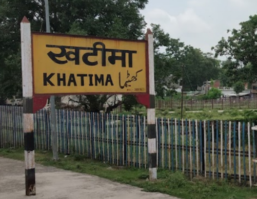
Key Information at a Glance
History of Khatima
The Tharu Legacy
The history of Khatima is deeply intertwined with the indigenous Tharu tribe, who are considered the original inhabitants of this region. The city was formerly known as “Tharwat,” which literally translates to the “home of the Tharu tribe”. The Tharu people have lived in the dense forests of the Terai for centuries, developing a unique culture and way of life that is still preserved in the region.
Post-Independence Era
Following India’s independence in 1947, the Government of India allocated parts of Khatima to settle migrants, shaping the city’s diverse demographic landscape. Since then, Khatima has grown into an important agricultural and industrial hub, with industries such as Polyplex, Ester Industries, and Khatima Fibres flourishing in the region.
The Hydropower Legacy
Khatima also features its very own hydropower plant at Lohiahead on the Sharda River, adding to the region’s importance in Uttarakhand’s energy sector.
Geography of Khatima
Location and Topography
Khatima is located in the Udham Singh Nagar district of Uttarakhand, in the Terai region of the Himalayas. The city is situated at coordinates 28°55′N 79°58′E and has an average elevation of 299 metres (980 feet) above sea level.
The Terai Landscape
Khatima is set in the Terai region, a lowland belt of marshy grasslands, savannas, and forests at the base of the Himalayas. This fertile landscape is ideal for agriculture and supports a rich diversity of flora and fauna.
Flora and Fauna of Khatima
Surai Forest Range & Eco-Tourism Zone
The Surai Forest Range is the crown jewel of Khatima’s natural heritage. Spread over an area of 180 square kilometres, it is bordered by the Sharda Sagar Dam in the east, Khatima Nagar in the west, Melaghat Road in the north, and the Pilibhit Tiger Reserve in the south.
Biodiversity Highlights:
| Category | Count | Species |
|---|---|---|
| Mammals | 125+ | Royal Bengal Tiger, Bear, Chital, Sambhar, Kakad, Pangolin |
| Birds | 150+ | Himalayan snowcock, Himalayan monal pheasant, migratory birds |
| Reptiles | 20+ | Coral Snake, Crocodiles |
Jungle Safari Experience
A 40-kilometre trail has been developed in the Surai Forest Range for jungle safaris, where visitors in gypsies can witness rare wild animals, picturesque forests, meadows, the ancient Sharda Canal, and beautiful ponds. The safari was launched by Chief Minister Pushkar Singh Dhami in December 2021 as part of the Surai Eco-Tourism Zone.
Kakra Crocodile Trail & Chuka Migratory Bird Centre
Khatima is also set to develop the Kakra Crocodile Trail and the Chuka Migratory Bird Centre, further enhancing its reputation as a nature lover’s paradise. The city forest and bird centre will provide additional opportunities for birdwatching and wildlife observation.
Religious Beliefs and Sacred Sites
Khatima is a city of remarkable religious harmony, where Hindu, Sikh, and Muslim communities coexist peacefully, reflected in its diverse places of worship.
🛕 Major Temples
1. Vankhandi Temple (Bankhandi Temple)
One of the most revered temples in Khatima, the Vankhandi Temple is more than 200 years old.
- Legend: According to local lore, herdsmen of the Tharu community once found a cow pouring its milk over a heap of boulders. This phenomenon repeated itself regularly, and upon excavation, a Shivalingam was discovered. The local Tharu community then constructed the temple.
- Location: Approximately 7 km from the main city towards Tanakpur.
- Deity: Lord Shiva.
2. Bhramal Baba Temple
The Bhramal Baba Temple is a unique spiritual site located about 20 km from Khatima in the Surai Forest Range.
- Significance: A holy place for Hindus where a Shiva Linga is installed.
- Interfaith Harmony: The graveyard of Baba Bharamal is also revered by Muslims, who adorn it with ‘chadar’ (sheets). This site is a testament to the religious harmony between Hindu and Muslim communities.
- Location: Surai Forest Range, Mohof Range.
3. Maa Purnagiri Temple
Located in Nagla Tarai village in Khatima, the Maa Purnagiri Temple is an ancient shrine dedicated to the goddess. In November 2024, Chief Minister Pushkar Singh Dhami laid the foundation stone for its renovation and beautification.
4. Jama Masjid
The Jama Masjid of Khatima was built in the typical Muslim style of architecture before India attained independence. It is maintained by a trust that also runs a Madarsa and a public school.
⛪ Gurudwara Nanakmatta Sahib
Located approximately 15 km from Khatima, the Gurudwara Nanakmatta Sahib is a popular Sikh pilgrimage site. Thousands of tourists and pilgrims visit Nanakmatta and the nearby Nanak Sagar Lake every year.
How to Reach Khatima
By Air — Nearest Airport
From Pantnagar Airport:
- Hire a taxi to Khatima (approx. 1.5–2 hours)
By Train — Nearest Railway Stations
| Station | Distance | Details |
|---|---|---|
| Kichha Railway Station | 40 km | Nearest railhead |
| Tanakpur Railway Station | 24 km | Well-connected to major cities |
By Road (Most Popular)
| Route | Distance | Travel Time |
|---|---|---|
| Delhi → Khatima | 308–344 km | 6–8 hours |
| Rudrapur → Khatima | 72 km | 1.5–2 hours |
| Tanakpur → Khatima | 24 km | 30–40 minutes |
Route from Delhi:
Delhi → Moradabad → Rampur → Bareilly → Pilibhit → Khatima
Transport Options:
- Private Taxi: Most convenient and flexible
- State Transport Buses: Available from Delhi and major cities
- Self-Drive: Well-maintained roads via NH-9
Distance from Major Cities
Weather and Best Time to Visit
Climate Overview
Khatima experiences a subtropical climate with hot summers, a monsoon season, and relatively mild winters.
Seasonal Breakdown
Best Time to Visit
| Purpose | Best Months |
|---|---|
| Overall Best | February–April & September–October |
| Wildlife Safari | October–March (cooler weather, better sightings) |
| Pleasant Weather | November–March |
| Avoid | May–June (extreme heat) |
Average Weather Snapshot
| Month | High/Low (°C) | Conditions |
|---|---|---|
| January | 19.2°C / 8.0°C | Cool and pleasant |
| April | ~35°C+ | Hot season begins |
| May–June | 40–46°C | Extremely hot |
| July–August | Variable | Heavy rainfall |
Annual Rainfall
Khatima receives an average annual rainfall of approximately 1,541 mm (61 inches).
Packing Guide
| Category | Items |
|---|---|
| Clothing | Light cotton clothes (summer), light woollens (winter), comfortable walking shoes |
| Essentials | Sunscreen, sunglasses, hat, power bank, camera |
| Documents | Valid ID proof |
| Seasonal | Raincoat (monsoon), light jacket (winter) |
Nearby Places to Visit
Things to Do in Khatima
1. Jungle Safari at Surai Forest Range
Experience the thrill of a jungle safari in the Surai Eco-Tourism Zone. Spot Royal Bengal Tigers, bears, chital, sambhar, and a variety of birds in their natural habitat.
2. Birdwatching
The Surai Forest Range and the upcoming Chuka Migratory Bird Centre are ideal spots for birdwatching, with over 150 species of birds, including the Himalayan snowcock and Himalayan monal pheasant.
3. Visit the Ancient Temples
Explore the 200-year-old Vankhandi Temple, the Bhramal Baba Temple in the Surai Forest Range, and the historic Jama Masjid.
4. Pilgrimage to Nanakmatta Sahib
Pay your respects at the Gurudwara Nanakmatta Sahib and enjoy the serene views of Nanak Sagar Lake.
5. Picnic at Banbasa Barrage
Enjoy a relaxing picnic at the Banbasa Barrage, offering striking views of the lake formed by the Sharda River.
6. Explore Local Culture
Interact with the friendly locals, learn about the culture and customs of the Tharu tribe, and enjoy village walks.
7. Photography
Capture the diverse wildlife, scenic landscapes, and vibrant cultural heritage of Khatima.
Accommodation Options
Khatima offers a range of accommodation options to suit every budget:
Travel Tip: Khatima is a growing commercial town, and accommodation options are limited compared to larger tourist destinations. It is advisable to book in advance, especially during festival seasons.
Local Cuisine — A Taste of Khatima
Khatima offers a delightful blend of North Indian and Kumaoni cuisine.
Must-Try Dishes
Where to Eat
- Roadside Dhabas: Authentic North Indian cuisine
- Restaurants: Multi-cuisine options
- High-end Hotels: In-house restaurants
Frequently Asked Questions (FAQs)
General Questions
Q1: Where is Khatima located?
A: Khatima is located in the Udham Singh Nagar district of Uttarakhand, in the Terai region of the Himalayas, close to the Indo-Nepal border.
Q2: What is the altitude of Khatima?
A: Khatima is situated at an elevation of approximately 299 metres (980 feet) above sea level.
Q3: What is Khatima famous for?
A: Khatima is famous for the Surai Forest Range & Eco-Tourism Zone, the ancient Vankhandi Temple, the Bhramal Baba Temple (a unique Hindu-Muslim pilgrimage site), its proximity to Nanakmatta Sahib, and its indigenous Tharu tribe heritage.
Q4: What is the best time to visit Khatima?
A: The best time to visit is from February to April and September to October.
Q5: How far is Khatima from Delhi?
A: The distance from Delhi to Khatima is approximately 308–344 km.
Q6: What is the nearest railway station to Khatima?
A: The nearest railway station is Kichha Railway Station, approximately 40 km from Khatima.
Q7: What is the nearest airport to Khatima?
A: The nearest airport is Pantnagar Airport, approximately 74 km from Khatima.
Q8: What wildlife can I see in Khatima?
A: The Surai Forest Range is home to Royal Bengal Tigers, bears, chital, sambhar, pangolins, and over 150 species of birds.
Q9: Is Khatima safe for tourists?
A: Yes, Khatima is generally safe for tourists. The locals are welcoming and friendly.
Q10: What languages are spoken in Khatima?
A: The official language is Hindi. Kumaoni and Tharu are also spoken.
Q11: What is the Tharu tribe?
A: The Tharu are the indigenous people of the Terai region. Khatima was formerly known as “Tharwat,” meaning the “home of the Tharu tribe”.
Q12: Is there a jungle safari in Khatima?
A: Yes, a 40-kilometre jungle safari trail has been developed in the Surai Eco-Tourism Zone.
Q13: What is the PIN code of Khatima?
A: The PIN code of Khatima is 262308.
Q14: What is the population of Khatima?
A: According to the 2011 census, Khatima has a population of 2,27,226.
Q15: What are the nearby places to visit from Khatima?
A: Nearby places include Nanakmatta Sahib (15 km), Banbasa Barrage (14.7 km), Tanakpur (24 km), Champawat (103 km), and Nainital (102 km).
Plan Your Khatima Journey with Discover Uttarakhand
At Discover Uttarakhand, we’ve been organising unforgettable Himalayan journeys since 1997. As a trusted local operator with deep knowledge of the Kumaon region and its hidden gems, we offer:
✅ Customised Khatima and Kumaon tour packages (2 to 5 days)
✅ Combined itineraries covering Khatima, Nanakmatta, Champawat, and Nainital
✅ Comfortable transport with experienced local drivers
✅ Verified accommodations in Khatima and nearby towns
✅ Local guides for jungle safaris, temple visits, and cultural experiences
✅ 24/7 customer support throughout your journey
Recommended Kumaon Packages
| Package | Duration | Starting Point | Highlights |
|---|---|---|---|
| Khatima Wildlife & Pilgrimage | 2 Nights / 3 Days | Delhi | Surai Jungle Safari, Nanakmatta Sahib, Vankhandi Temple |
| Kumaon Terai Explorer | 3 Nights / 4 Days | Delhi | Khatima, Champawat, Lohaghat, Nainital |
| Kumaon Heritage & Wildlife Tour | 4 Nights / 5 Days | Delhi | Khatima, Nanakmatta, Corbett National Park |
📞 Call / WhatsApp: +91-9997187178, 9760222178, 8171977178
📍 Visit Our Office: Himalayan Colony, opposite DSVV, Haripur Kalan, Haridwar, Motichur Range, Uttarakhand 249411
🌐 Website: www.discover-uttarakhand.com
📧 Email: discoveruttarakhand.mail@gmail.com
Discover Uttarakhand – Your Local Partner for Unforgettable Himalayan Journeys Since 1997 🏔️